Churchill Downs Natural Floodplain
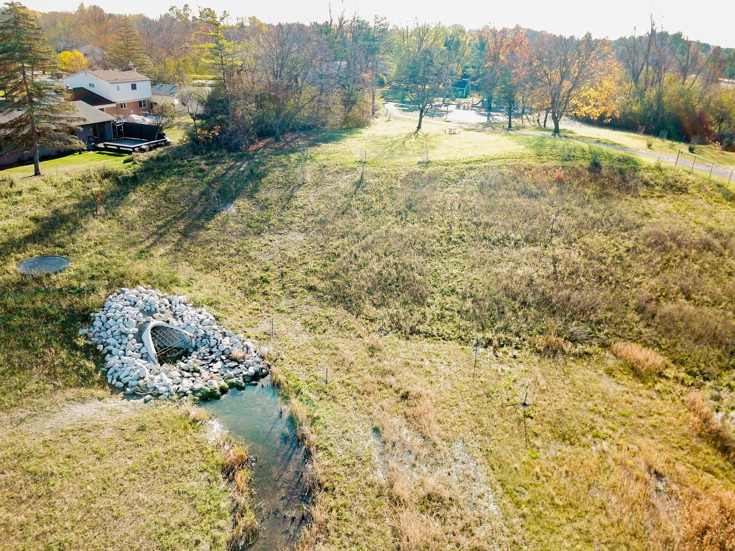
This project is related to the study conducted of the Upper Malletts Creek to reduce severe flooding during heavy stormwater runoff events. Spicer Group was responsible for hydraulic modeling, including the integration of SWMM and GIS data, to adapt an existing City of Ann Arbor SWMM model to evaluate floodplain sizing and placement within Churchill Downs Park. Spicer Group developed flood maps using LiDAR topographic information in GIS to provide a visual representation of SWMM results. Based on the study results, a new 10.9 acre-foot detention area was proposed to be constructed at Churchill Downs Park to detain stormwater during heavy runoff events and store it for a limited amount of time.
Following completion of the model, Spicer Group worked closely with the WCWRC, the City of Ann Arbor, and the public to design, permit, bid, and oversee construction for the floodplain area. Construction work included excavation and removal of roughly 60,000 cubic yards of material, along with an extensive stream and planting restoration plan which was a requirement of the EGLE permit. Spicer Group’s team helped overcome challenges which included: environmental permitting, concerns from residents about the noise from the adjacent expressway, a 20-inch City watermain that ran through the Upper Malletts Creek Drain, and installation of a large outlet control structure in tight confines between houses.