HOUSATONIC RIVER LIDAR SURVEY
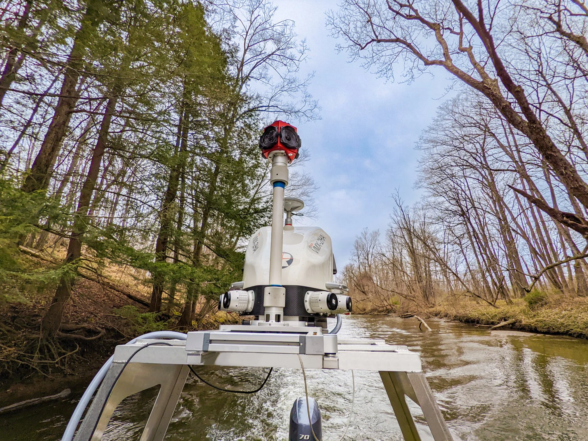
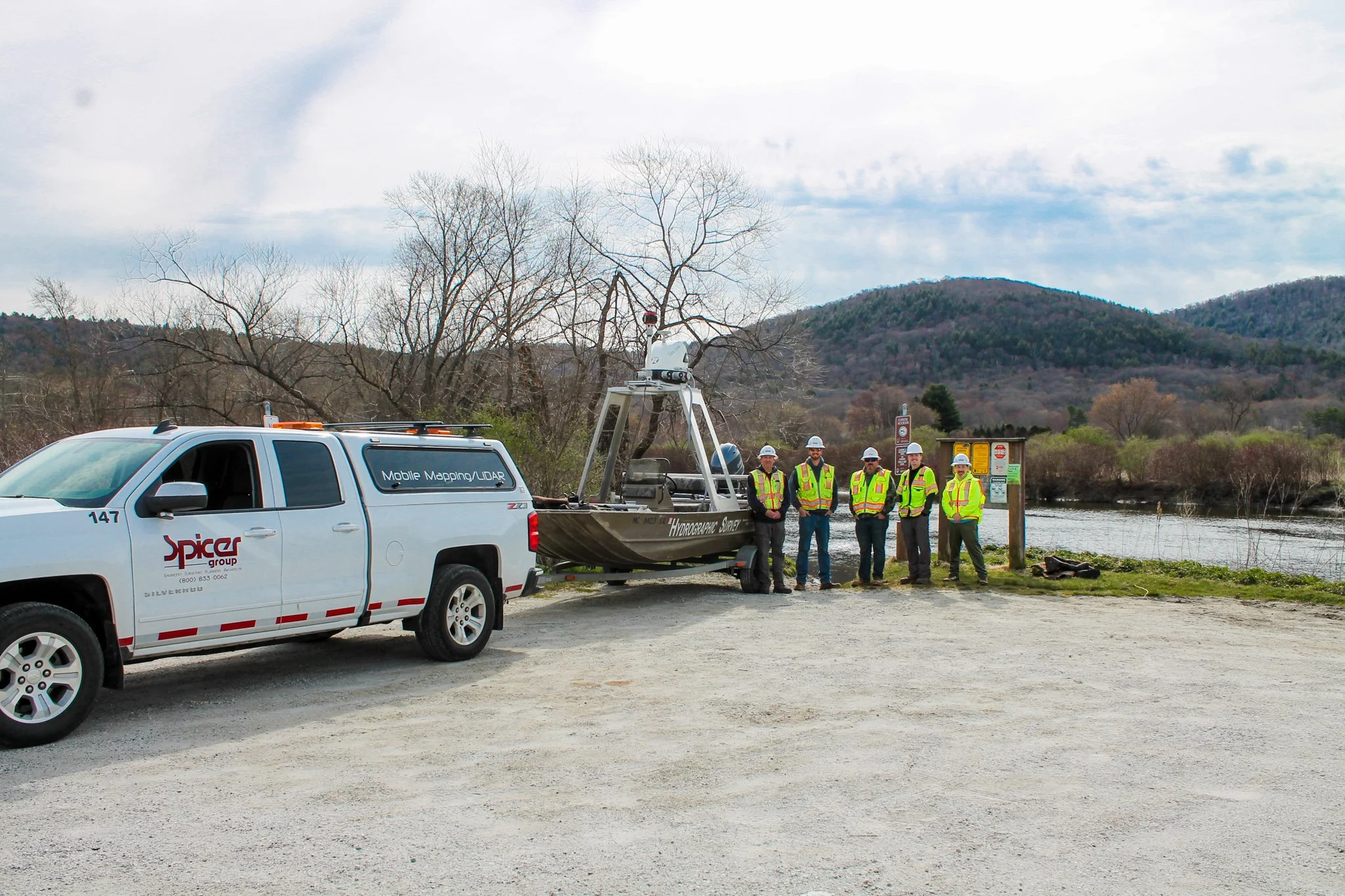
Anchor QEA hired Spicer Group to complete a mobile LiDAR survey along the Housatonic River in Pittsfield, Massachusetts, to assess erosion conditions. The team established 45 monuments and used a Riegl VMX-2HA system capable of collecting 3.6 million measurements and 500 scan lines per second. Spicer completed the full 45-site riverbank survey in five days—far faster than traditional methods—and delivered CAD and PDF results within 13 days, providing Anchor QEA with precise erosion and topographic data.
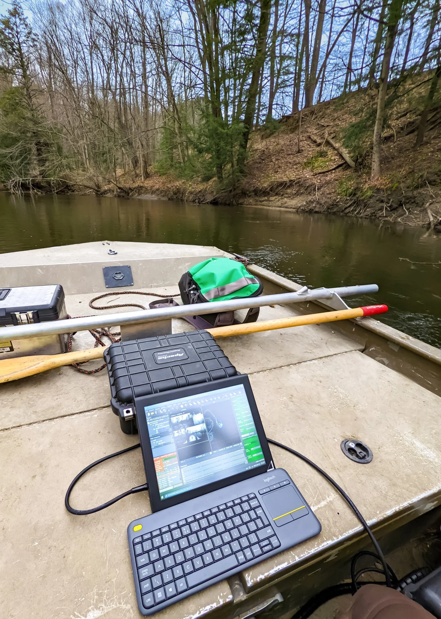
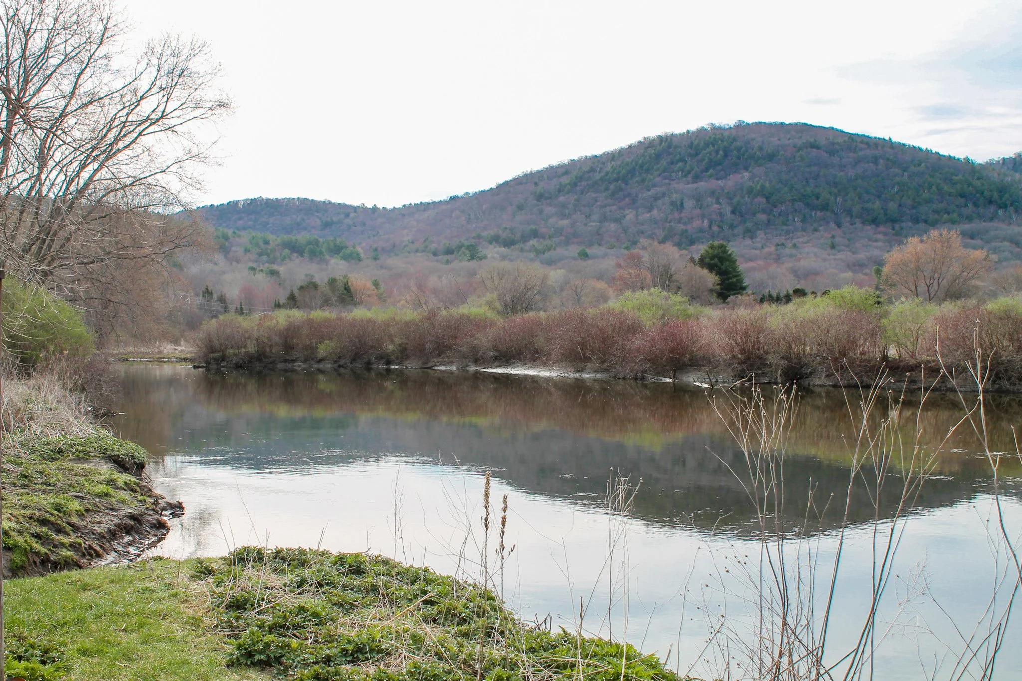
PROJECT PHOTOS