GEOSPATIAL

Geospatial Service Line
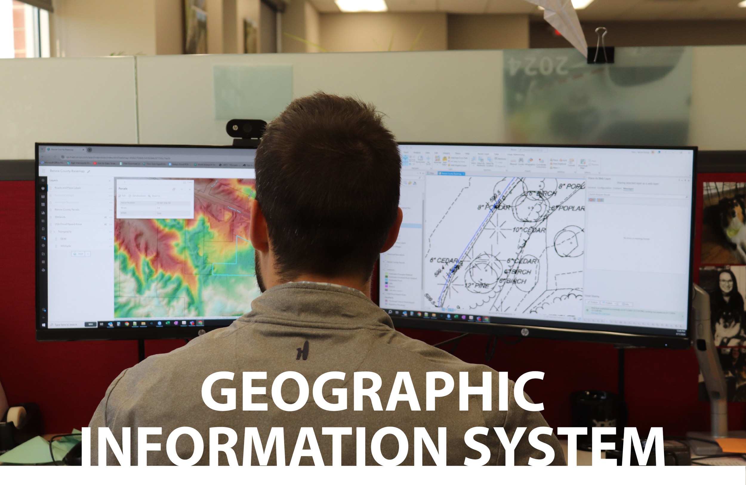
Spicer Group’s Geospatial professionals deliver high-precision GIS mapping, land surveying, and mobile data collection to support smarter infrastructure and environmental planning. As a leading provider of state-of-the-art geospatial services, we understand how the locations of our world connect—and our expert team measures it with precision, whether by land, sea, or sky. Spicer Group’s team of licensed surveyors and experienced technicians leverage the latest advancements in surveying and geospatial technology—including drone mapping, mobile LiDAR, 3D laser scanning, and GIS analytics—to deliver precise, data-driven solutions tailored to each client's unique needs. We specialize in integrating geospatial intelligence into civil engineering workflows, helping clients improve project safety, reduce costs, and enhance decision-making. We foster lasting client relationships by serving as trusted partners, committed to guiding each project from concept to successful completion.
Spicer Group has built a national reputation as a leader in surveying and geospatial services, operating one of the largest surveying and geospatial groups in the Eastern United States. Our team can work on the smallest of infrastructure projects to the largest of mapping projects. Whether you're planning a transportation corridor, assessing flood risk, or managing utility networks, Spicer Group provides reliable geospatial solutions tailored to your needs.

Click Here to View the Geospatial Services Project Book


Geospatial Practice Areas


OUR PEOPLE


Darrin Wilson, PS Geospatial Director

Sam Bialorucki, GISP GIS Practice Lead

Brent Everitt, PS Design Survey Practice Lead
Stephen Donn, PS Construction Survey Practice Lead