GIS

GIS Practice Area
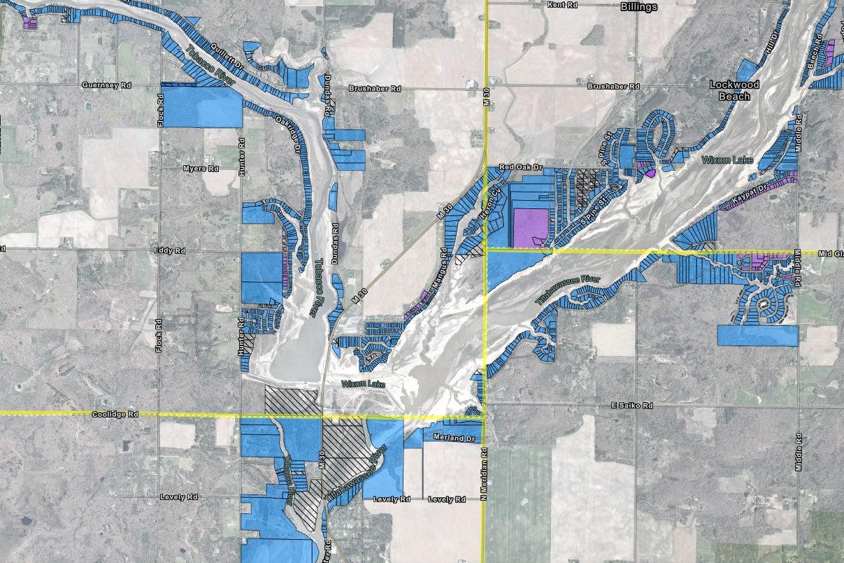
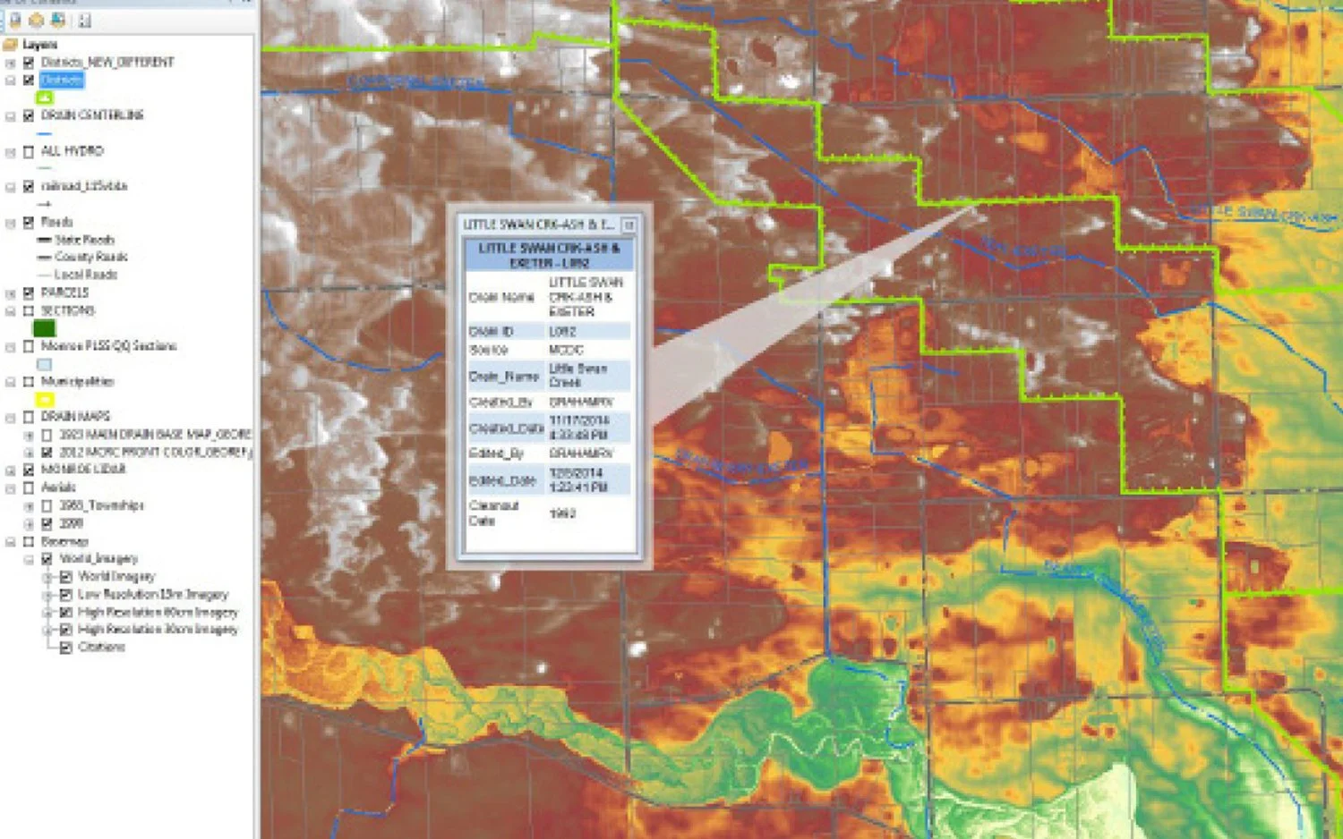
Geographic Information Systems (GIS) connect data to maps through spatial processes. At Spicer Group, GIS is a cornerstone of our daily operations. From engineering, to planning and surveying, we utilize GIS to analyze data, find dynamic solutions, and connect people to information.
As an ESRI Network Partner Member, we are experts at developing ArcGIS products through our longstanding partnership with Esri. We have a legacy of working closely with industry standard software to design custom solutions.
We collaborate with our clients to assess their needs, define meaningful scope, and design creative data ecosystems for internal and external partners. From utility location and design to geospatial strategy and web-based GIS applications including Web Experiences, Dashboards, Story maps, Survey123 and more, our team understands how to integrate GIS into a daily workflow to transform the way our clients use and activate their spatial data.


THESE SERVICES INCLUDE
◦ GIS System Development & Implementation
◦ Asset Management Solutions
◦ Field Data Collection & Mobile GIS
◦ Survey & Advanced Geospatial Technology Integrations
◦ Infrastructure & Utility GIS
◦ Spatial Analysis & Decision Support
◦ Ongoing GIS Support/On-call Services
◦ Mapping, Visualization & Dashboards
CONTACT

Sam Bialorucki, GISP GIS Practice Lead
Interested in Our Projects?
Click the button below to go to our projects page where you can find projects that are related to GIS.