Spicer Group - Water Modeling Services
Water modeling is a tool used by engineers to understand how water moves through both natural and constructed environments. Whether evaluating open channels, storm and sanitary sewer systems, wetlands, dams, or water distribution systems, water modeling allows for the simulation of various conditions to better predict water behavior. Spicer Group provides this critical service through a combination of fieldwork, advanced software, and engineering expertise, offering our clients a reliable way to make informed decisions.

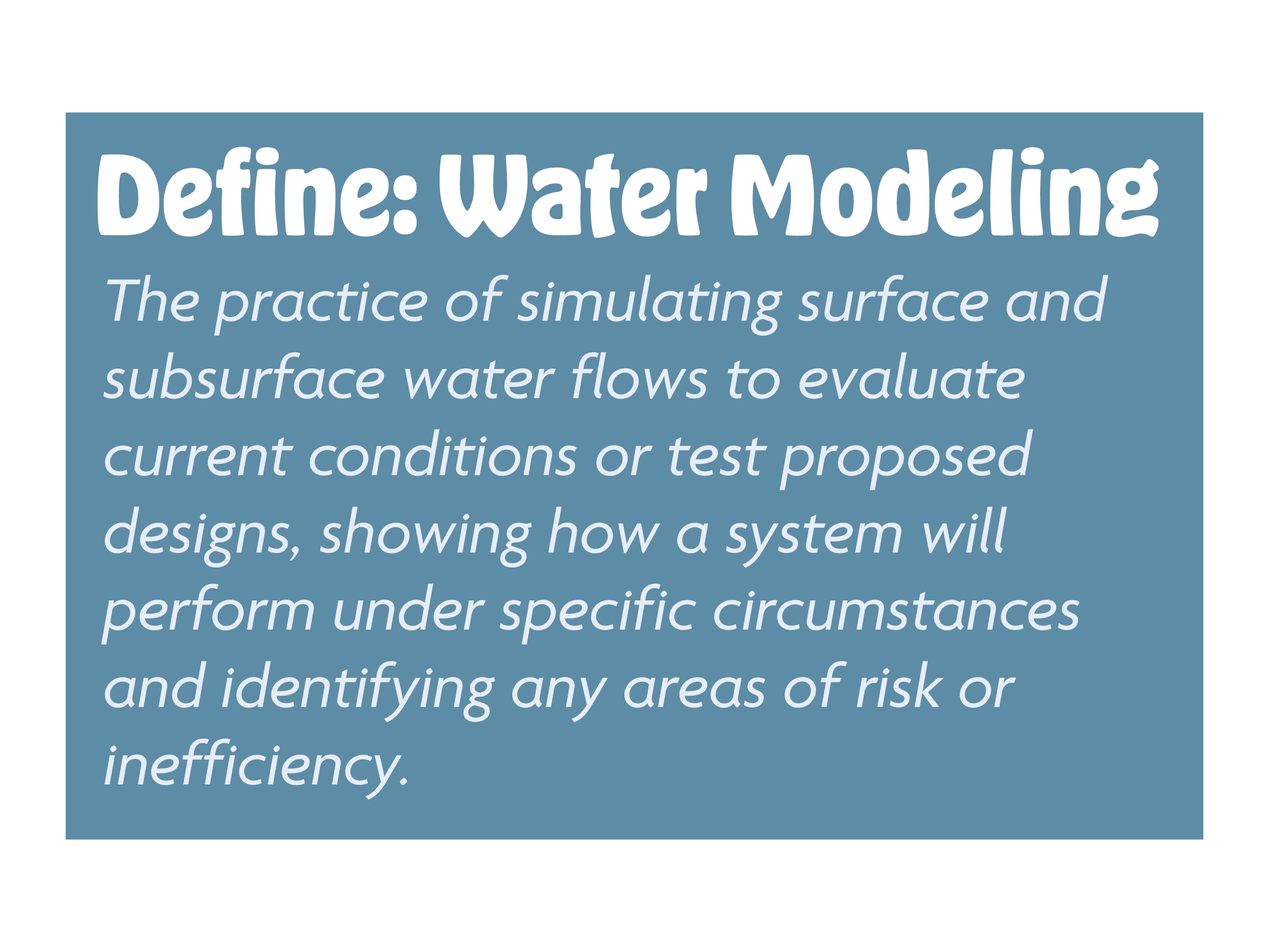
At its core, water modeling refers to the practice of simulating surface and subsurface water flows to evaluate current conditions or test proposed designs. This includes hydraulic modeling, which examines how water physically moves through structures like culverts, sewers, and open channels, as well as hydrologic modeling, which focuses on rainfall, runoff, and infiltration. Spicer also provides water distribution modeling, which analyzes how water is delivered through municipal water mains to ensure consistent pressure and reliable service. Each of these services supports the ultimate goal: simulating how a system will perform under specific circumstances and identifying any areas of risk or inefficiency.
Spicer’s water modeling process begins in the field, where teams conduct thorough site inspections and collect detailed survey data to understand the condition of the existing environment. These observations provide the baseline needed for accurate calculations and simulations. Some of the surveyed elements can include stream cross-sections, culvert and bridge dimensions, slope grades, and surrounding features. Once the data is collected, it is imported into specialized software approved by federal and state agencies. Programs such as HEC-RAS (Hydrologic Engineering Center’s River Analysis System) and EPA SWMM (Environmental Protection Agency Stormwater Management Model) are used to calculate flow levels, simulate water velocities, and determine how a site reacts under various conditions. Spicer’s team then evaluates whether the current infrastructure, like culverts or storm sewers, is functioning correctly or needs improvements such as resizing, realignment, or maintenance, like sediment removal.
In many cases, water modeling is initiated as a reaction to a specific event, such as a flood or infrastructure failure. Much of the infrastructure being assessed is decades old and has not been updated because many communities have running lists for replacements waiting for grant funding. While Spicer always encourages a proactive approach, we also understand the need for project funding and try to assist with this process as well. Communities that engage in water modeling before issues arise are better positioned to protect property, reduce emergency costs, and invest in long-term, sustainable improvements. Anticipating increased rainfall trends and planning for more intense storms can also save municipalities significant resources over time. By investing in modeling ahead of time, local governments and developers can make strategic, cost-effective decisions that prevent damage rather than reacting to it after the fact.
Spicer Group’s modeling services are valuable to a range of clients. Municipalities and other public sector entities benefit from improved infrastructure planning and increased resiliency. Accurate modeling ensures that homes, roads, and public utilities are safeguarded against flood events. Spicer’s models help identify weak points in stormwater systems and can assist with planning new development in a way that minimizes future risk. For private developers, modeling plays a key role in project design, construction, and compliance. It allows for clear documentation of how water will be detained, conveyed, and discharged on a site, and whether those conditions will impact upstream or downstream properties. This is especially important when proposing developments in or near regulated floodplains or areas with sensitive ecosystems. Modeling can also be used to update flood insurance maps and support permitting processes by demonstrating that a new project will not worsen flooding risks. Spicer Group’s water distribution modeling also helps municipalities understand deficiencies in water systems, as well as plan for future water demands in areas of rapid development and growth.
Spicer’s experience extends to complex projects for agencies like the Michigan Department of Transportation. We regularly perform hydraulic surveys for MDOT, collecting geometric data on streams, rivers, and drainage channels where they intersect with roadways. This information is critical to ensure that culverts and bridges are properly sized to handle flows from small storms all the way up to rare, high-intensity events like the 500-year flood. The collected data includes cross-sections, photographs, field notes, and detailed observations of conditions upstream and downstream of a crossing. The team uses this information to develop HEC-RAS models, formatted through CAiCE software, which are delivered to MDOT engineers in a usable and fully compatible format. These models help MDOT confirm whether current or planned infrastructure meets the necessary hydraulic requirements without delay.
One key example is evaluating large infrastructure like dams and dam breaks to help emergency managers know what flood risk looks like downstream for emergency management systems, identifying homes, businesses, and roadways at risk of destruction.
Spicer Group also applies water modeling expertise in support of national programs such as those led by FEMA. Our work with FEMA often involves modeling for Flood Insurance Studies and Hazard Mitigation Grants that include hydrologic or hydraulic components. In many design projects, we also develop models to determine water velocities needed to support proper fish habitat and migration, helping to balance infrastructure needs with environmental protection.
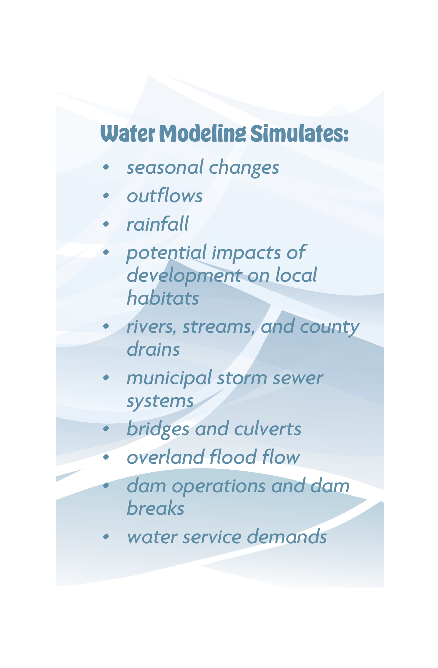
In addition to FEMA-related work, water modeling is used extensively in conservation-focused initiatives and regulatory permitting. For clients managing wetlands or preserving natural areas, modeling can simulate seasonal changes, outflows, rainfall cycles, and the potential impacts of development on local habitats. These models not only guide smarter land use planning and ecosystem protection but also provide valuable data to strengthen grant applications and ensure compliance with environmental regulations.
A defining feature of Spicer’s service is the collaboration between its surveyors and engineers. This interdisciplinary approach ensures that each model is built on accurate, high-quality data and reviewed from multiple professional perspectives. We have a dedicated technical services team focused solely on water modeling, allowing them to concentrate on the complexities of each client’s needs. Spicer understands that the accuracy of a model relies heavily on the quality of the survey data and that each element—survey, modeling, and engineering—must align to ensure project success.
Every model produced by Spicer undergoes a rigorous internal review process to ensure its accuracy and reliability. This quality assurance and quality control process includes the project manager, design engineer, and an independent third-party reviewer within the company. These professionals examine the model’s inputs, logic, and results to confirm that the model behaves realistically and predictably. This review process helps avoid costly mistakes in construction and ensures the results can be trusted by regulators, contractors, and the client. If issues or inaccuracies are detected, Spicer’s team is equipped to troubleshoot and refine the model until it meets the necessary standards. Their internal procedures are designed to streamline the modeling process while maintaining precision and technical integrity.
Looking ahead, Spicer Group sees many opportunities to expand the reach and capability of water modeling. As software tools become more powerful and new challenges emerge, such as those facing municipalities along the Great Lakes and coastal shorelines, modeling will play an even more essential role. Drainage systems in these regions are often impacted by unique factors like high winds, storm surges, and ice formation. Spicer aims to adapt its services to help communities manage these complex interactions and protect their infrastructure under a wider range of environmental scenarios.
Spicer Group’s commitment to excellence in water modeling is grounded in experience, collaboration, and a proactive mindset. By combining detailed survey work, federal-agency-approved modeling tools, and expert engineering insight, Spicer offers a comprehensive service that empowers clients to make smarter, safer, and more sustainable water management decisions. Whether assisting communities, preparing for future growth, improving existing infrastructure, or protecting against extreme events, Spicer’s water modeling and hydrology services offer a clear path forward in a world where understanding water is more important than ever.
