SURVEY

Survey Practice Area
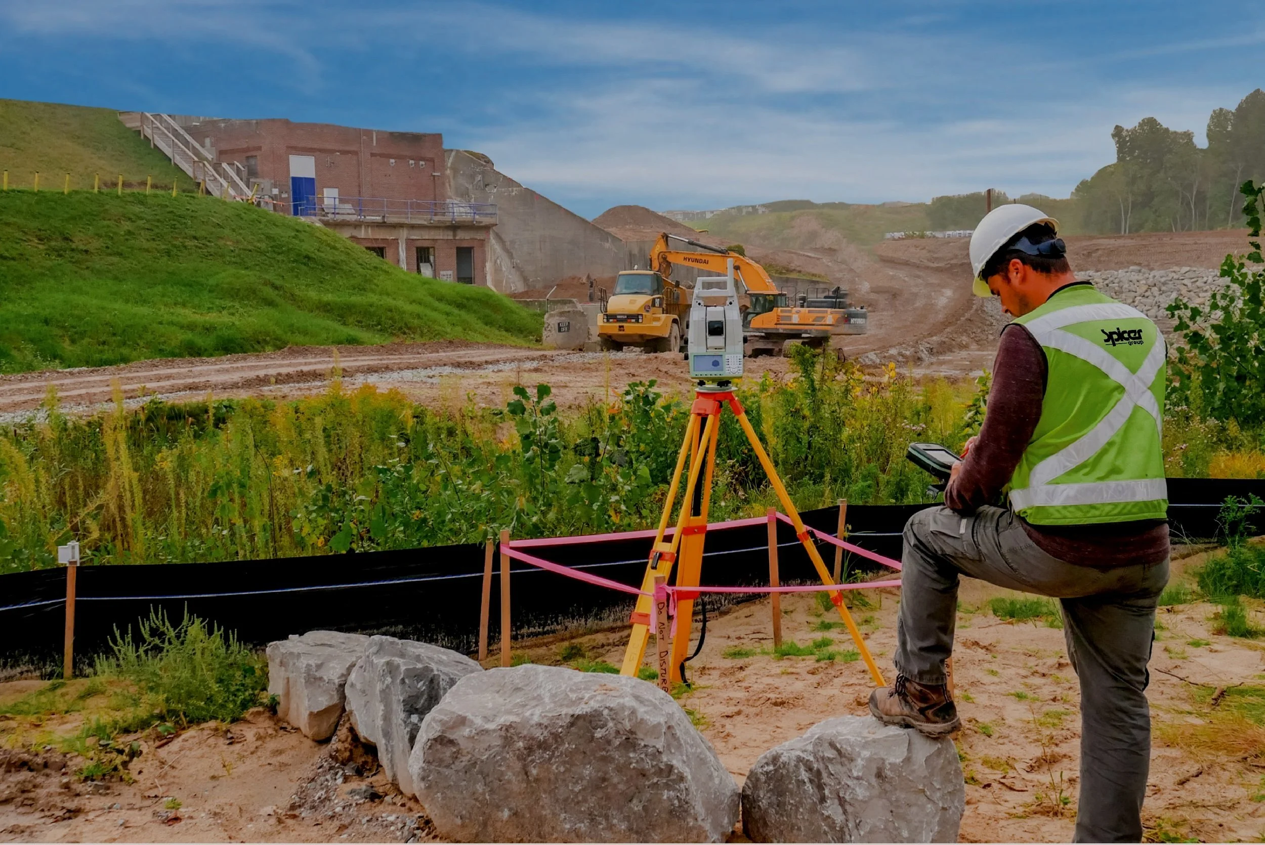
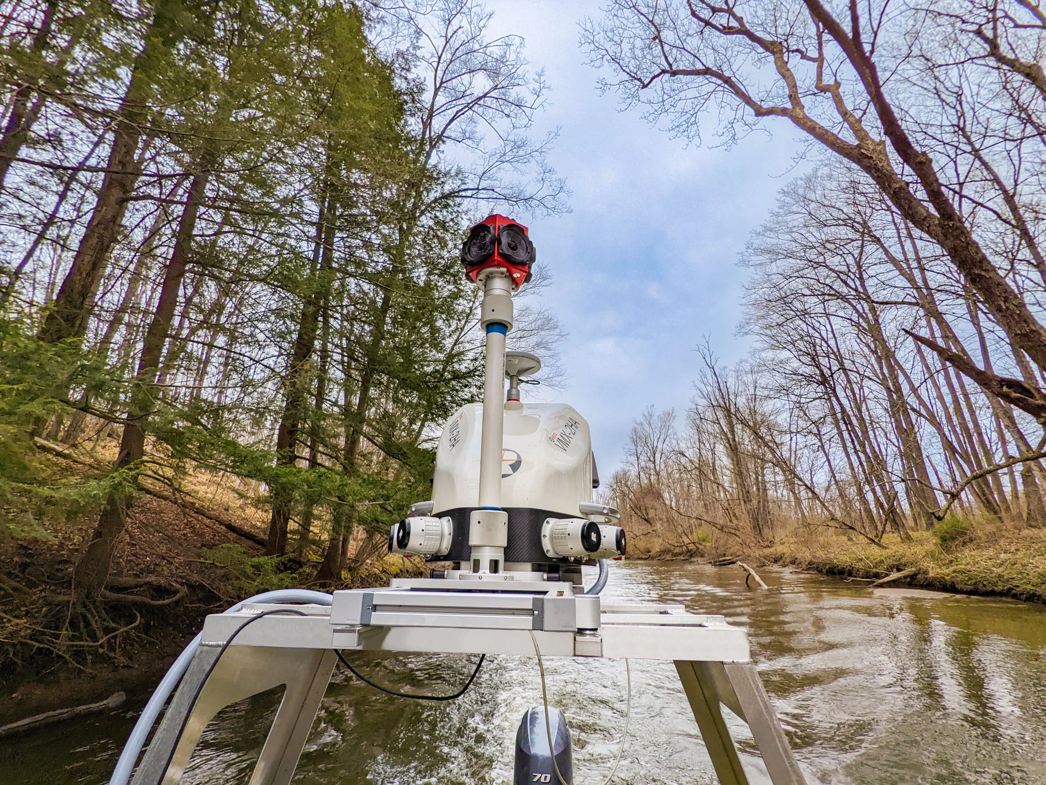
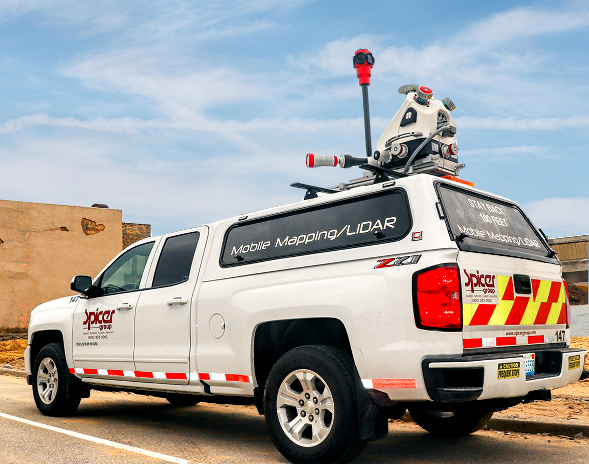
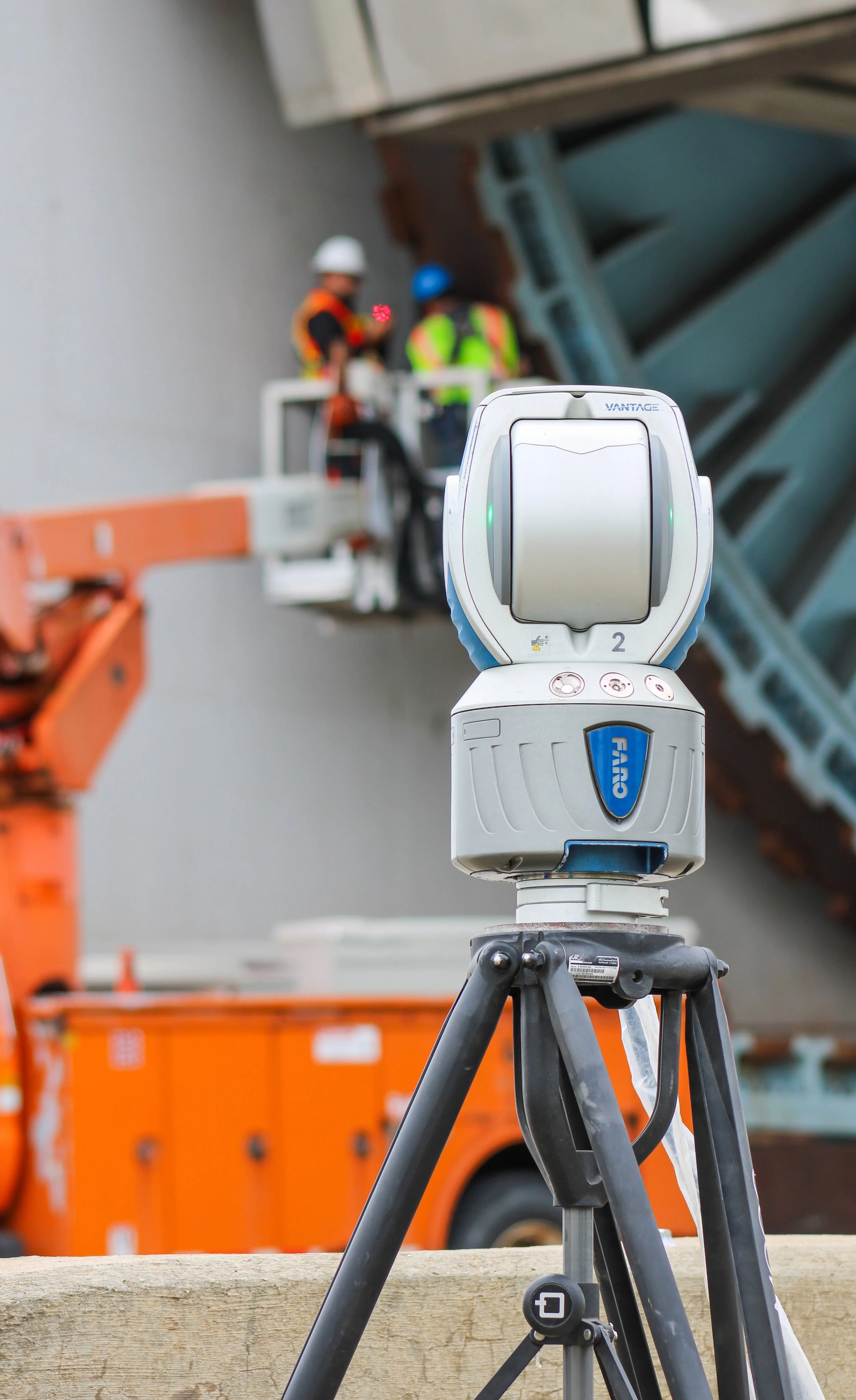
Spicer Group’s professional surveyors and geospatial professionals are experts at measuring the world we live in, whether from land, sea or sky. Our team is capable of working on the smallest of survey projects to the largest of public or private infrastructure projects. From traditional boundary surveys, ALTA/ACSM Land Title Surveys, to mega-freeway reconstruction projects, our crews have you covered. We pride ourselves on leveraging the latest in traditional surveying and remote sensing technology to complete projects as efficient, accurate and safe as possible. From robotic total stations and GPS, 3D laser scanners, mobile and aerial LiDAR systems and single and multi-beam sonar, our team of experts deploy the right technology for any given project. With 17 field crews and a large group of support professionals, our team can mobilize anywhere in the United States to support any project. No challenge is too complex. Currently our team consists of 17 licensed professional surveyors holding licensure across the U.S.

◦ Boundary, Topographic, and Utility Surveys
THESE SERVICES INCLUDE
◦ Property Surveys, Plat and Site Layout Assistance for Commercial, Industrial, and Residential Clients
◦ Construction Staking
◦ Geographic Information System (GIS)/Global Positioning System (GPS) Capabilities
◦ Wetland and Floodplain Surveys
◦ Bridge Alignment Surveys
◦ Condominium Development
◦ County Remonumentation
◦ ALTA/ACSM Surveys
◦ Infrastructure Inventory
◦ Aerial Photo Control
◦ Subdivision Layout/Platting
◦ Topographic Mapping for Road/Utility Projects
SURVEY CONTACT


Brent Everitt, PS Design Survey Practice Lead
Stephen Donn, PS Construction Survey Practice Lead
Interested in Our Projects?
Click the button below to go to our projects page where you can find projects that are related to surveying.