
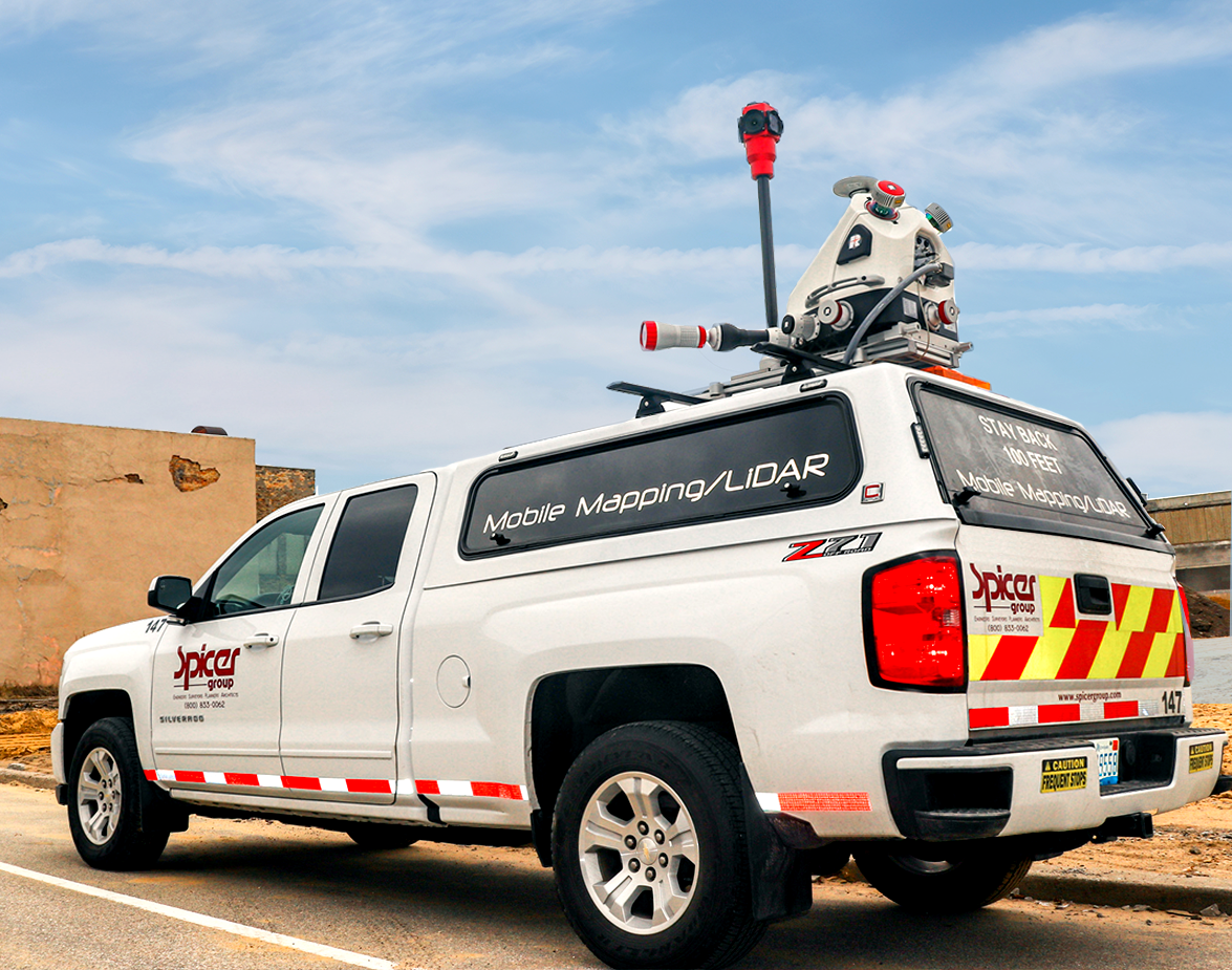
mobile mapping
Spicer Group's Mobile Mapping services offer our clients the latest cutting-edge technology based on time-tested traditional survey methods to meet the accuracy required for today's engineering, design, and mapping applications. Using the RIEGL mobile mapping system, our trained, experienced, and licensed professionals can deliver full 360-degree three-dimensional models with survey-grade accuracy faster and safer than traditional survey methods.
Mobile mapping allows for rapidly collecting all visible assets utilizing dual scanners at 1.8Mhz each. This enables us to scan freeways traveling the same speeds as the motoring public. The system has an integrated spherical camera and the option to integrate higher-resolution external cameras. The software workflow and automation built into the processing and alignment of scans are also a significant plus.
We have collected thousands of miles of mobile LiDAR data using trucks, boats, hi-rail vehicles, and ATVs. This non-invasive method of surveying reduces the impact on motorists, can eliminate the need for traffic control, offers our clients fast mobilization, and provides virtually unlimited detail compatible with all common CAD and GIS platforms.